Description: 9.6 miles, 2400 feet of climbing, 4.5 hours. Topo map of hike.
Tuesday I took off work to hike Black Mountain in Rancho San Antonio Open Space expecting to start from Hidden Villa. Little did I know that they close the park to hikers during the summer for kids’ camps. So I turned around and headed to Rhus Ridge Road. There are 8 ways to hike up Black Mountain according to one website. I had heard about this entrance but have never hiked from it. The parking lot is small so I assume it would be difficult parking on weekends. Directions to the trailhead are easy to follow. This hike started out climbing and reminded me of Almaden Quicksilver’s Hacienda Entrance.
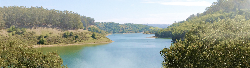
It was a hot day (90) and even in the shade it was a tough .9 miles to Black Mountain Trail. Once on the top the trail climbs gradually for three miles before climbing sharply for the last 1.5 miles. It took me 2.5 hours to get to the top, stopping for rests and food breaks. At the top the view is great but there is no shade for a rest stop. a dead end trail to the left takes you to some tree but not really a great place to rest. This hike is best done in spring when it is green and cool and you can hang out on the rocks at the top. I have also done this hike in winter when it is so wet and cold you can”t see 50 feet in front of you.
Returning was easy, except for some slippery steep downhill. Return trip took less than 2 hours. This is a good hike if you are looking for some serious exercise that is an easy drive from the south bay. The Bay Area Hiker website has a good write up on this hike but there are slight differences in distances and elevation gain.
