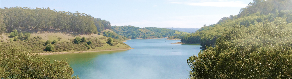
I am spending my vacation in Southern Oregon and will be mostly on the Rogue River but I had a day before my guided trip so I sought out a local hike not on the Rogue River. The general manager of Morrison Lodge suggested hikes along Briggs Valley Road which goes 36 miles all the way to Highway 199. The one lane road is paved and in good condition — more than I can say about the China Creek Trail. At mileage marker 2.2 along the road is a vista overlook with an old sign with the trails marked, unfortunately the metal sign was used as target practice so the trails aren’t clear, however, there is narrative on numerous trails in the area.
The Taylor Creek Trail goes 10 miles along the road on the far side of the creek and is well maintained and marked. There are several different trailheads along the road. I explored the trail from mileage marker 7 (spray painted on the paved road) and it was a great hike, mostly level but some gentle climbing . You cross over two wooded bridges that have seen better days — there are boards missing and some old highway cones warning of the problem. One bridge is now closed and the trail has been re-routed to cross the creek, easy to do in August. Farther down you come across a mining claim that has an old tent cabin and table. I highly recommend this trail for meandering in lush surroundings.
Another trail I did was the China Creek Trail. This trail is 5.9 miles, total out and back, but is only well used for the first 1.5 miles. Even this part was overgrown with poison oak so I would not recommend it if you are sensitive to the stuff. The hike is a good workout but you are climbing over some downed trees and the 3-4 inches of dead madrone leaves on some of the steep trail was slick. The trail dead ends at the bottom at China Creek which is surprisingly good sized. There is a log that crosses the creek but the trail seems to end there. It looks like you may be able to bush-whack along the creek if you have the time and don’t mind more poison oak! The return trip has you climbing out for over a mile, my guess is a total of 800 to 1,000 feet of total climbing.
There are numerous signs of bears along the trail with scat and dug out areas. Didn’t see any bears or any other wildlife. If you are looking for a recommendation, I would skip this trip and do more hiking on the Taylor Creek Trail.

2011 update: south 2/3 of trail (Taylor Creek to Galice Creek) is in good shape now. The trail does not end at the log over Galice Creek. It’s not easy to find, but wander 50-ft upstream after crossing the log and you will find the trail. From here it is a steep climb out of the canyon to FS road 2402.